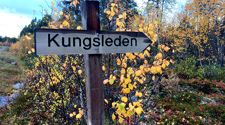
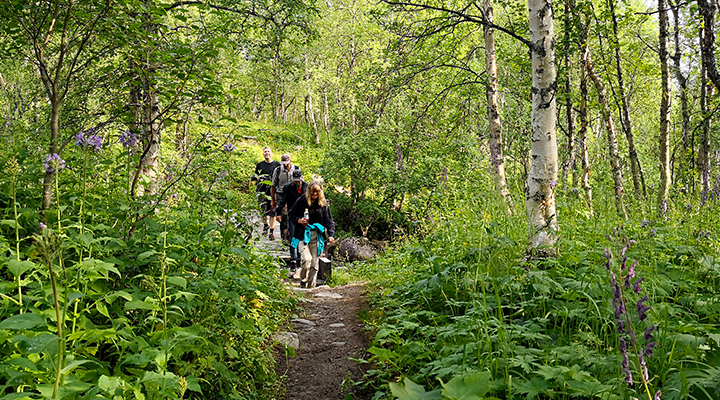
Kungsleden, The King’s Trail, is a hiking trail in northern Sweden, approximately 440 kilometres (270 miles) long, between Abisko in the north and Hemavan in the south. It passes through one of Europe’s largest remaining wilderness areas.

The section between Kvikkjokk and Ammarnäs is the least hiked on Kungsleden. Perhaps because a tent is needed and the nature is comprised more of mountain birch forests and river valleys than bare mountain region. But the views over the large forests are majestic, especially in Pieljekaise National Park.
August and beginning of September are the best months, when the landscape is painted a golden red and the mosquitoes disappear.

The hike can be demanding due to the path going up and down. Between the river valleys and plateaus are several hundred meters of altitude change. Several smaller communities, huts and cottages give the area its own character, unlike anything else on Kungsleden. This section also means somewhat longer boat transports, which you can arrange (for example from Voutnatjviken).
There are a few simpler cabins, such as Tsielejåkk and Pieljakaise cabins, where you can sleep if you arrange to recieve a key. You can overnight in the village of Jäckvik, Adolfström and Bäverholm, but you will overnight most of the time in a tent or the typical lean-to shelter. If the weather is good, the mountain plateaus offer the best tent spots.

The Svaipa bird preservation area is worth an extra stop for ornithologists, and the hike over the prairie-like flat country of Björkfjäll expands the views. The final stretch to Ammarnäs takes place over a long ridge that offers a fantastic view of the river valley.
Facts from STF‚ Svenska Turistföreningen, comprised and translated by Maria Söderberg.